Study Site Mapper is now published on both the Apple App Store and Google Play. Students, researchers, educators, planners, and field professionals can now use the same mobile study area mapping workflow on iPhone and Android.
The app is designed for the moment when you need to turn a place, set of coordinates, administrative boundary, circle, square, or KML file into a clear map for a thesis, report, presentation, site assessment, or research project. It brings site selection, layout design, geographic layers, mapped-area information, and export into one mobile workspace.
Get the app for iPhone on the App Store or for Android on Google Play.
A study area map maker built for phones
A study area map helps readers understand where a project takes place and how the selected boundary relates to its surroundings. Study Site Mapper makes that workflow accessible without requiring you to begin at a desktop GIS workstation.
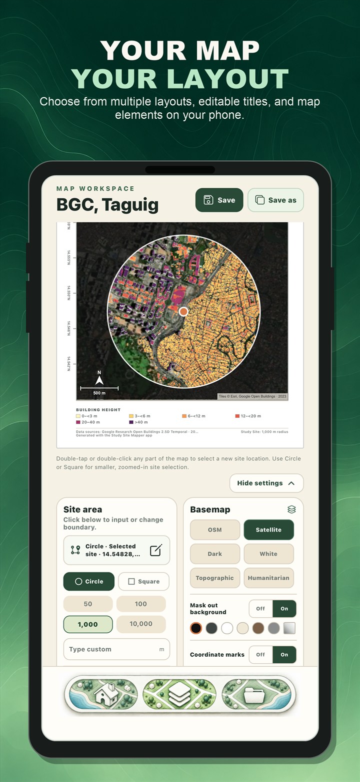
Choose a site, select a suitable basemap, adjust the map layout, and add useful elements such as a title, outline, scale bar, north arrow, coordinate marks, legend, or location inset. The live map workspace lets you check the composition before you export it.
Explore ready-to-load map layers
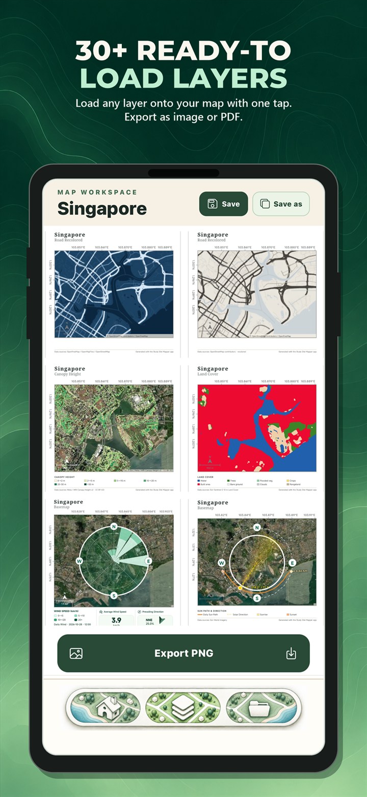
Study Site Mapper includes environmental, landscape, and socioeconomic layers that can add context to a selected study site. Available options include elevation, slope, land cover, forest and building height, population, river networks, solar resource, mangroves, seagrass, aboveground biomass, building use, and other mapped characteristics.
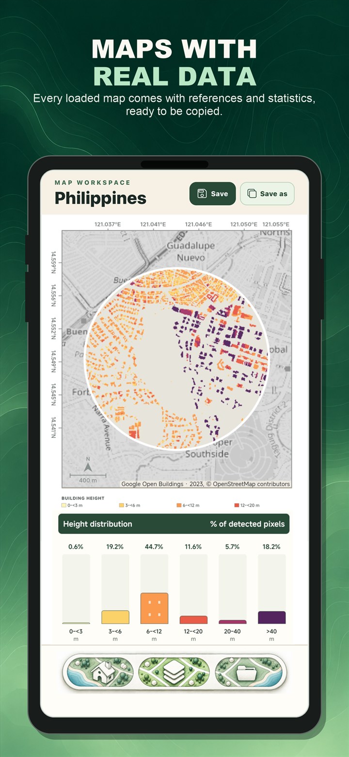
The available source details, references, interpretation notes, and study-area summaries vary by layer. These help users understand what the map represents before using it in academic or professional work.
Create location maps and site-analysis figures
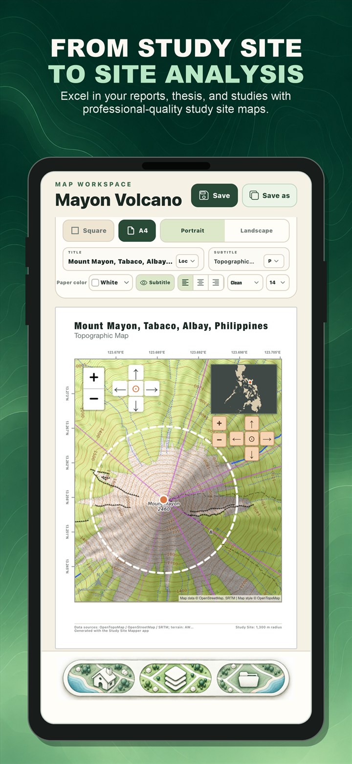
A single project can begin as a simple site location map or develop into a thematic site-analysis figure. Location insets can show where a study site sits within a province or country, while thematic layers can help communicate terrain, environmental conditions, human settlement, infrastructure, or other mapped features.
Because the map is prepared in a visual workspace, you can refine the title, page orientation, paper style, boundary appearance, map elements, and layout before producing the final file.
Export as PNG or PDF
Export a completed map as PNG for a document, slide deck, poster, or social post, or save it as PDF for reports and printing. Projects can also be saved locally on the device and reopened when a map needs another revision.
No app account is required to begin. Internet access is needed when loading online basemaps and geographic datasets.
Available now on both platforms
Download Study Site Mapper for Android
Android users can download Study Site Mapper from Google Play.
Download Study Site Mapper for iPhone
iPhone users can download Study Site Mapper from the Apple App Store.
Frequently asked questions
Is Study Site Mapper available for Android?
Yes. The Android version is published on Google Play and can be installed from its official store listing.
Is Study Site Mapper available for iPhone?
Yes. The iPhone version is published on the Apple App Store.
What can I create with the app?
You can create study area maps, site location maps, thematic maps, and map figures for research, education, planning, reports, presentations, and general site analysis.
Study Site Mapper is an educational, research, and general-purpose site-analysis tool. It is not intended for cadastral or professional land surveying, engineering certification, legal boundary determination, emergency response, or authoritative navigation. Dataset coverage, dates, resolution, and accuracy vary by source.

Map smarter, faster using your phone.
Download Study Site Mapper and turn your next study site into a clear, professional map.